
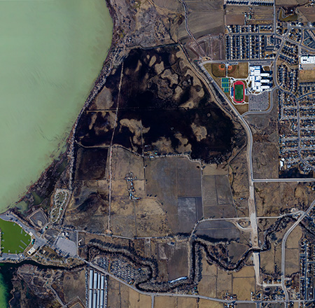
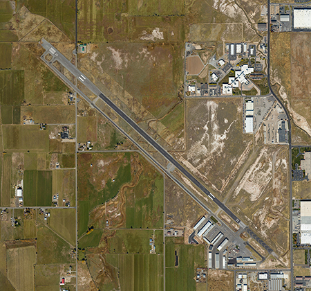
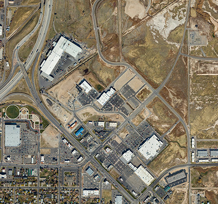
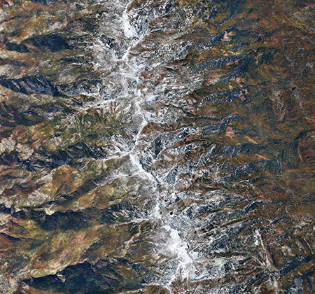
Vertical (straight-down) aerial photography has many different applications. Project planning, facility and campus management, parking and traffic analysis, property valuation, wetland monitoring, property subdivision, remote bridge and property inspection and many legal uses including accident re-creation and property line issues are just a few of the many possibilities.
Our vertical aerial photography is shot through a special hole in the bottom of our aircraft using a custom designed leveling and stabilizing camera mount for true verticals. The capture process is controlled by gps for accuracy for single and stitched final images. We can deliver almost any resolution as high as sub-inch and shoot any property from small, single home properties to large, multi-image, seamlessly stitched areas. The final product can be ortho-rectified and geo-referenced for ease in GIS use.
Click the links below to view zoomable samples of our vertical aerial photography:
Follow the links below for more Aerial Photography Services
Hi, impressive imagery… about how much would it cost to make a fly over photo of a ranch near Delta, Utah, regards, Patrick